 fr
 es
 en
Long-distance trail
HRP Étape 41
- Type
- Long-distance trail
- Distance (route)
- 22 km
- Waymarking
- HRP
- Start
- Col de l’Ouillat
- Finish
- Banyuls-sur-Mer
- Nearest town to the start
- Laroque-des-Albères
Duration and difficulty are not given: plan your walk with a map and ask the tourist offices for advice.
The route
Great site nearby
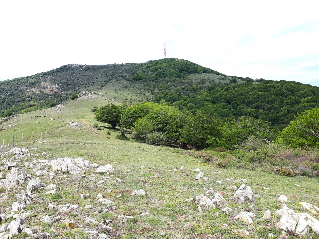 Pic Neulós1,256 m · Natura 2000 (Albères massif)The highest point of the Albères, on the border, the Neulós rises to 1,256 metres above the Roussillon plain, the Mediterranean and the Empordà: beech forests, Corsican pines, snow wells and a panorama stretching as far as the Canigó.
Near the route
Pic NeulósNatural sites · Laroque-des-Albères
La Vallee des TortuesAttractions · Sorède
Le CatalanRestaurants · Laroque-des-Albères
La Maison de l’AmandeLocal produce · Laroque-des-Albères
Château de Laroque-des-AlbèresHeritage and sightseeing · Laroque-des-Albères
Prieuré Santa Maria del VilarHeritage and sightseeing · Villelongue-dels-Monts
Cafe des ArtistesRestaurants · Laroque-des-Albères
Le Comptoir RocatinRestaurants · Laroque-des-Albères
Les Enfants TerriblesRestaurants · Laroque-des-Albères
Delices du VietnamRestaurants · Laroque-des-Albères
Find out more
Routes and trail names: © OpenStreetMap contributors, ODbL licence. Indicative data: check waymarking, weather and conditions before setting off.