 fr
 es
 en
Hiking
The waymarked trails of the Pyrénées-Orientales, from the coast to the Canigó and the Cerdagne: local walks, regional trails and long-distance stages, with their routes.
35 trails
-
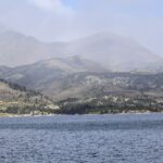 Boucle des etangs du Carlit (variante 9 lacs)Local walk · 5.2 km · Angoustrine-Villeneuve-des-Escaldes
Inland
-
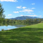 Chemin de VivèsLocal walk · 9.7 km · Céret
Céret – Vallespir
-
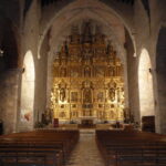 De Notre-Dame à Calce par le Roc RedounLocal walk · 13 km · Cases-de-Pène
Inland
-
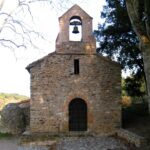 La Calcine – Boucle d’OmsLocal walk · 6.8 km · Oms
Inland
-
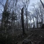 La Tour Massane par le Chemin de l’EauLocal walk · 15 km · Collioure
Côte Vermeille
-
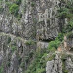 Les Balcons de la TêtLocal walk · 11 km · Thuès-Entre-Valls
Inland
-
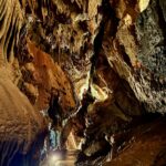 Les rhododendronsLocal walk · 4.5 km · Fontrabiouse
Inland
-
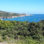 Sentier de la LibertéLocal walk · 8.2 km · Banyuls-sur-Mer
Côte Vermeille
-
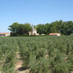 Sentier Lambert NarachLocal walk · 9.2 km · Corneilla-la-Rivière
Inland
-
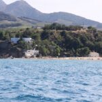 Sentier Littoral, Cerbère – Argelès-sur-MerLocal walk · 35 km · Argelès-sur-Mer
Argelès-sur-Mer
-
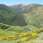 Tour del CanigóLocal walk · 62 km · Corsavy
Inland
-
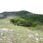 Vallée Heureuse – Château d’UltreraLocal walk · 10 km · Argelès-sur-Mer
Argelès-sur-Mer
-
Walter Benjamin RouteLocal walk · 13 km · Cerbère
Côte Vermeille
-
Chemin VaubanRegional trail · 91 km · Fontrabiouse
Inland
-
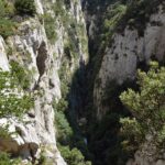 Tour des FenouillèdesRegional trail · 90 km · Saint-Paul-de-Fenouillet
Inland
-
Tour du CapcirRegional trail · 63 km · Les Angles
Inland
-
Tour du CarlitRegional trail · 50 km · Dorres
Inland
-
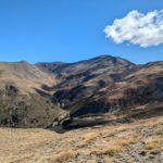 De la Manche aux Pyrénées 24, Sournia – Bourg-MadameLong-distance trail · 129 km · Sournia
Inland
-
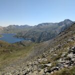 Des Vosges aux Pyrénées 14, Porte de Barboilliere – Portella Blanca d’AndorraLong-distance trail · 42 km · Formiguères
Inland
-
HRP Étape 33Long-distance trail · 20 km · Porté-Puymorens
Inland
-
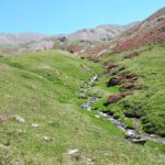 HRP Étape 34Long-distance trail · 18 km · Font-Romeu-Odeillo-Via
Inland
-
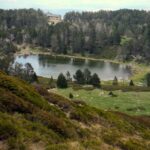 HRP Étape 37Long-distance trail · 30 km · Casteil
Inland
-
 HRP Étape 38Long-distance trail · 13 km · Corsavy
Inland
-
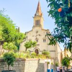 HRP Étape 39Long-distance trail · 19 km · Amélie-les-Bains-Palalda
Inland
-
HRP Étape 40Long-distance trail · 22 km · Maureillas-las-Illas
Céret – Vallespir
-
HRP Étape 41Long-distance trail · 22 km · Laroque-des-Albères
Inland
-
HRP Variante 33.1Long-distance trail · 3.2 km · Porté-Puymorens
Inland
-
HRP Variante 34.1Long-distance trail · 4.4 km · Eyne
Inland
-
HRP Variante 35.1Long-distance trail · 11 km · Eyne
Inland
-
HRP Variante 37.1Long-distance trail · 3.5 km · Corsavy
Inland
-
 HRP Variante 38.1Long-distance trail · 7.6 km · Amélie-les-Bains-Palalda
Inland
-
La traversée des Pyrénées – sec.1Long-distance trail · 103 km · Banyuls-sur-Mer
Côte Vermeille
-
La traversée des Pyrénées – sec.2Long-distance trail · 102 km · Valmanya
Inland
-
SC 04S : Duilhac-sous-Peyrepertuse – PrugnanesLong-distance trail · 7.9 km · Saint-Paul-de-Fenouillet
Inland
-
SC 05S : Prugnanes – PuilaurensLong-distance trail · 28 km · Saint-Paul-de-Fenouillet
Inland
The Département’s walks on Rando66
Official durations, difficulty levels, descriptions and GPS tracks: the Pyrénées-Orientales Département portal.
Routes and trail names: © OpenStreetMap contributors, ODbL licence. Indicative data: check waymarking, weather and conditions before setting off.