 fr
 es
 en
Local walk
Sentier Littoral, Cerbère – Argelès-sur-Mer
- Type
- Local walk
- Distance (route)
- 35 km
- Nearest town to the start
- Argelès-sur-Mer
Duration and difficulty are not given: plan your walk with a map and ask the tourist offices for advice.
The route
Great site nearby
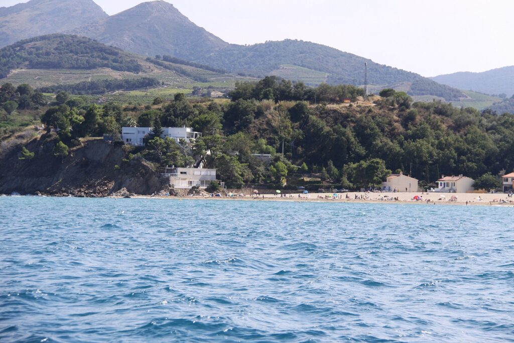 Le RacouThe beginning of the Côte Vermeille · Conservatoire du littoral · Natura 2000South of Argelès-sur-Mer, the sandy beach comes to an abrupt end at the foot of the first cliffs: at Le Racou, the Pyrenees plunge into the Mediterranean and the Côte Vermeille begins, with its hamlet of cabins, its coves and its coastal path.
Near the route
La ReserveRestaurants · Argelès-sur-Mer
La Casa Del JokerRestaurants · Argelès-sur-Mer
Plage CentreBeaches · Argelès-sur-Mer
La Bodega Del JokerRestaurants · Argelès-sur-Mer
Kosmo BeachRestaurants · Argelès-sur-Mer
Marché des Platanes – Argelès-PlageMarkets · Argelès-sur-Mer
Caffé MammaRestaurants · Argelès-sur-Mer
Forest Pin’s TennisActivities · Argelès-sur-Mer
Carnaval CafeRestaurants · Argelès-sur-Mer
Casino Joa d’Argeles sur MerAttractions · Argelès-sur-Mer
Plage des PinsBeaches · Argelès-sur-Mer
Plage SudBeaches · Argelès-sur-Mer
Find out more
Routes and trail names: © OpenStreetMap contributors, ODbL licence. Indicative data: check waymarking, weather and conditions before setting off.