 fr
 es
 en
Hiking
The waymarked trails of the Pyrénées-Orientales, from the coast to the Canigó and the Cerdagne: local walks, regional trails and long-distance stages, with their routes.
13 trails
-
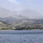 Boucle des etangs du Carlit (variante 9 lacs)Local walk · 5.2 km · Angoustrine-Villeneuve-des-Escaldes
Inland
-
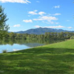 Chemin de VivèsLocal walk · 9.7 km · Céret
Céret – Vallespir
-
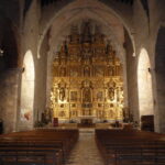 De Notre-Dame à Calce par le Roc RedounLocal walk · 13 km · Cases-de-Pène
Inland
-
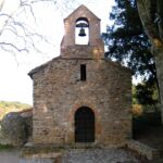 La Calcine – Boucle d’OmsLocal walk · 6.8 km · Oms
Inland
-
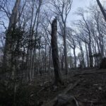 La Tour Massane par le Chemin de l’EauLocal walk · 15 km · Collioure
Côte Vermeille
-
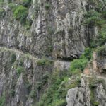 Les Balcons de la TêtLocal walk · 11 km · Thuès-Entre-Valls
Inland
-
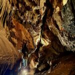 Les rhododendronsLocal walk · 4.5 km · Fontrabiouse
Inland
-
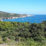 Sentier de la LibertéLocal walk · 8.2 km · Banyuls-sur-Mer
Côte Vermeille
-
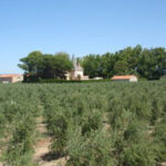 Sentier Lambert NarachLocal walk · 9.2 km · Corneilla-la-Rivière
Inland
-
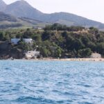 Sentier Littoral, Cerbère – Argelès-sur-MerLocal walk · 35 km · Argelès-sur-Mer
Argelès-sur-Mer
-
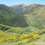 Tour del CanigóLocal walk · 62 km · Corsavy
Inland
-
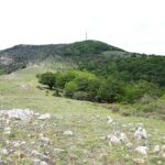 Vallée Heureuse – Château d’UltreraLocal walk · 10 km · Argelès-sur-Mer
Argelès-sur-Mer
-
Walter Benjamin RouteLocal walk · 13 km · Cerbère
Côte Vermeille
The Département’s walks on Rando66
Official durations, difficulty levels, descriptions and GPS tracks: the Pyrénées-Orientales Département portal.
Routes and trail names: © OpenStreetMap contributors, ODbL licence. Indicative data: check waymarking, weather and conditions before setting off.