 fr
 es
 en
Regional trail
Tour du Carlit
- Type
- Regional trail
- Distance (route)
- 50 km
- Nearest town to the start
- Dorres
Duration and difficulty are not given: plan your walk with a map and ask the tourist offices for advice.
The route
Great site nearby
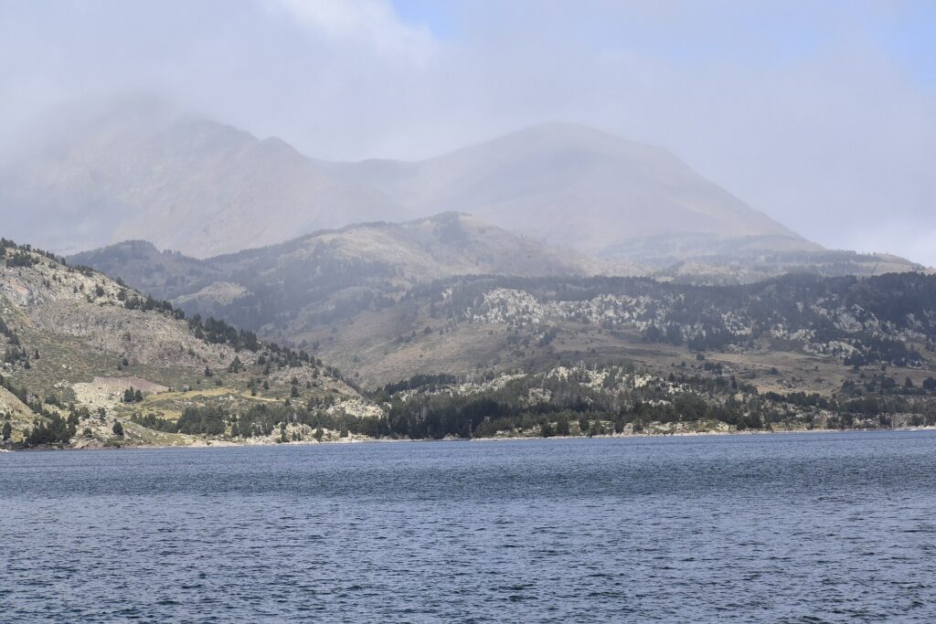 Lacs des Bouillouses2,016 m · Protected site (1976)At 2,016 metres, at the foot of the Carlit, the Lac des Bouillouses and the surrounding lakes form one of the great high-mountain landscapes of the Catalan Pyrenees: a protected site, accessible by shuttle in summer.
Near the route
Rando YogaActivities · Dorres
Nevada Mountain PaddockActivities · Dorres
Bains de DorresWellness · Dorres
Couasnon Thierry Guide de PêcheActivities · Angoustrine-Villeneuve-des-Escaldes
Vallée d’AngoustrineNatural sites · Angoustrine-Villeneuve-des-Escaldes
Relais du BellochRestaurants · Angoustrine-Villeneuve-des-Escaldes
Église Saint-André d’AngoustrineHeritage and sightseeing · Angoustrine-Villeneuve-des-Escaldes
Poterie la FermeLocal crafts · Angoustrine-Villeneuve-des-Escaldes
Poterie la FermeActivities · Angoustrine-Villeneuve-des-Escaldes
Sophro-Nature Bien-EtreActivities · Angoustrine-Villeneuve-des-Escaldes
Cal XanderaRestaurants · Angoustrine-Villeneuve-des-Escaldes
Église Saint-Martin d’UrHeritage and sightseeing · Ur
Find out more
Routes and trail names: © OpenStreetMap contributors, ODbL licence. Indicative data: check waymarking, weather and conditions before setting off.